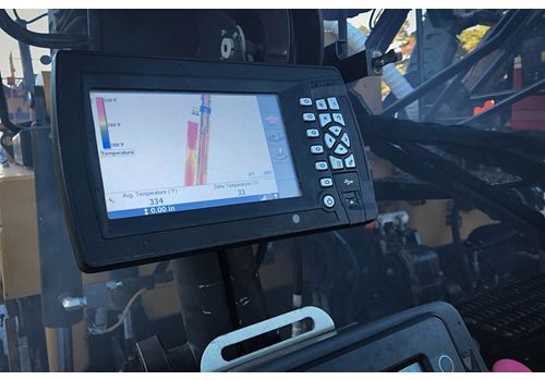
Cat Grade with Thermal Mapping For Pavers
Thermal Mapping monitors the surface temperatures of the asphalt utilizing an infra-red camera and a Global Navigation Satellite System (GNSS) enabled by RTK accuracy. Viewing real-time temperatures, contractors can identify variations and take action to manage the plant to paver delivery process and fine-tune paving practices for more uniform lay-down temperatures.


